Introducing the Sapientza Maritime Landscape Project
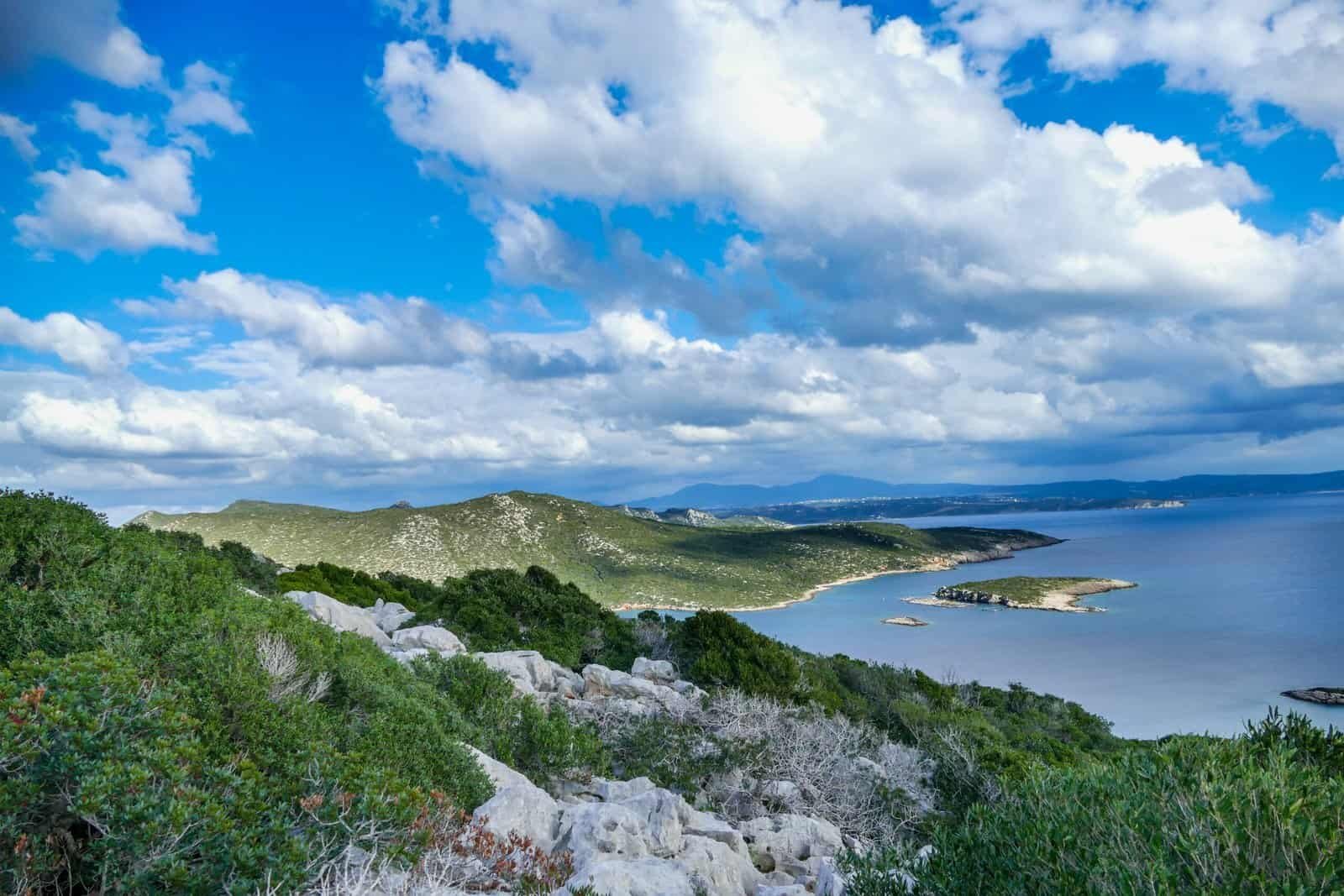
Sapientza Island lies off the southwestern coast of Messenia, positioned at the threshold between the Ionian Sea and the sheltered waters of Navarino Bay. Though modest in size, the island occupies a significant place within historical maritime corridors linking the western Mediterranean to the Aegean.
The Sapientza Maritime Landscape Project seeks to examine the island not as an isolated landform, but as part of a wider coastal and maritime system shaped by trade, defence, and navigation.
Geography and Maritime Movement
The southwestern Peloponnese has long functioned as a transitional maritime zone. Ships travelling between Adriatic, Ionian, and eastern Mediterranean ports frequently passed along this coastline.
Natural anchorages, promontories, and offshore islands provided both shelter and strategic advantage. Sapientza, positioned near Methoni and within visual range of coastal fortifications, forms part of this navigational environment.
Understanding its role requires examining:
• Coastal topography
• Line-of-sight relationships with mainland watchpoints
• Proximity to major fortified centres
• Historical shipping routes documented in archival sources
Geography and movement are inseparable in this landscape.
A Networked Defensive Environment
Sapientza’s location connects it directly to the fortified centres of:
• Methoni – Coastal maritime gateway
• Koroni – Fortress overlooking the Messenian Gulf
• Paleokastro – Elevated defensive ridge above Navarino
Together, these sites illustrate a system of observation, control, and response extending across land and sea.
Rather than viewing each fortress independently, the project considers how visual communication, coastal surveillance, and maritime awareness formed an integrated defensive network.
Sapientza contributes to this understanding by offering a vantage point within the broader system.
Surface and Submerged Contexts
The maritime landscape is not limited to visible architecture.
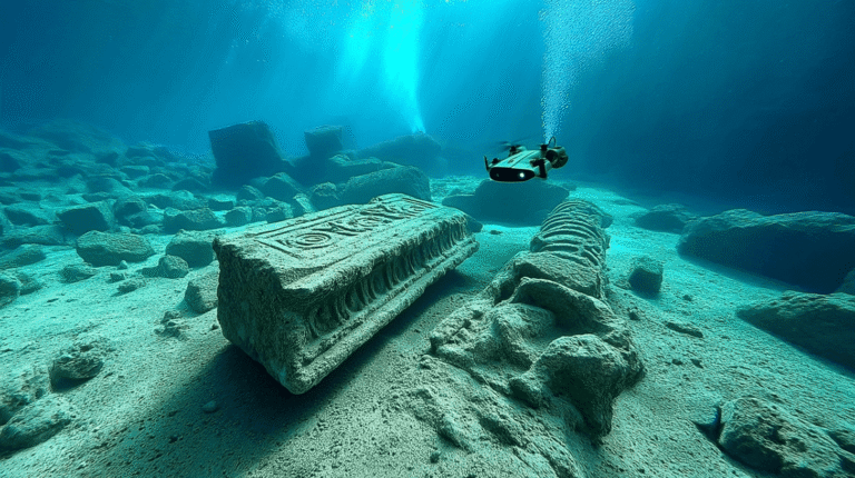
Coastal erosion, shifting sea levels, and centuries of navigation activity suggest that the surrounding waters may preserve additional cultural material. Preliminary research considers the potential for submerged remains linked to maritime activity, anchorage use, or episodic events.
The project therefore adopts a dual perspective:
• Land-based landscape analysis
• Marine and near-shore investigation
By combining terrestrial and underwater study, a more comprehensive understanding of the region emerges.
Project Objectives
The Sapientza Maritime Landscape Project aims to:
• Map the island within regional maritime routes
• Analyse line-of-sight and surveillance potential
• Study archival references to maritime activity
• Conduct structured surface and coastal documentation
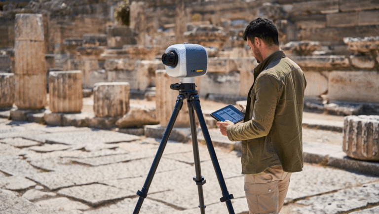
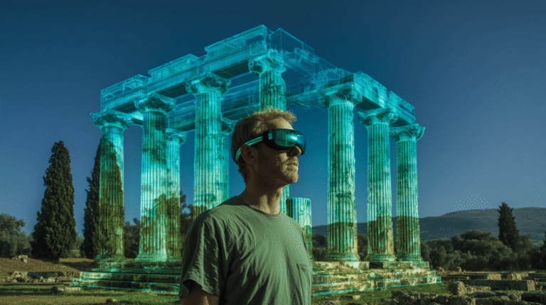
• Explore the integration of digital mapping technologies
The approach is interdisciplinary, linking historical research, spatial analysis, field survey, and digital documentation.
An Integrated Methodological Framework
Future phases of the project will incorporate:
• Coastal and underwater survey
• Free-diving reconnaissance
• Underwater drone documentation
• LiDAR-based terrain modelling
• Digital reconstruction for interpretative purposes
All field activities will be conducted within appropriate heritage frameworks and ethical standards.
Sapientza thus becomes a focal point for examining how maritime landscapes function across time — shaped by trade, conflict, navigation, and environmental change.
Further updates will detail the methodological phases of the project and initial findings.