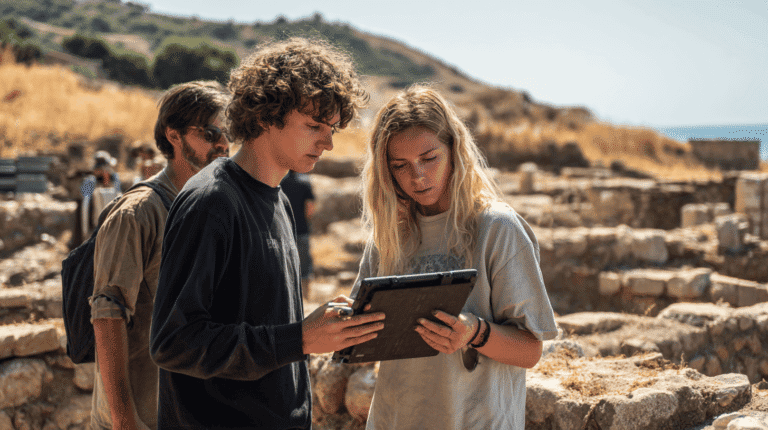
much larger process of contextual recording and analysis.
Archaeology is not the recovery of objects. It is the reconstruction of relationships.
Archaeological interpretation begins before excavation. It begins with landscape observation.
Slope orientation, ridge alignment, access routes, water proximity, and visibility corridors all influence settlement patterns and defensive systems. Landscape reading trains students to interpret these environmental variables as structured evidence.
In field-based training, students analyse:
• Natural elevations and defensive potential
• Agricultural terraces and land modification
• Harbour access and coastal exposure
• Line-of-sight connections between sites
This analytical approach transforms terrain into data.
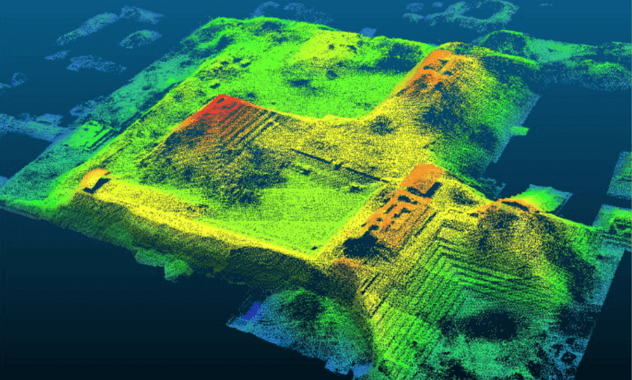
When combined with digital mapping and LiDAR analysis, landscape reading bridges physical observation and spatial modelling. Field experience grounds digital interpretation in embodied understanding.
The landscape is not passive. It shapes human activity and preserves its traces.