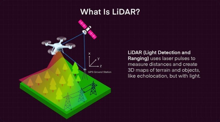
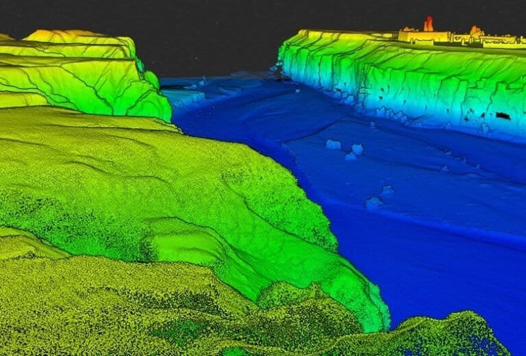
LiDAR (Light Detection and Ranging) has become an increasingly valuable tool in archaeological landscape analysis. In coastal regions, where erosion and vegetation obscure structural features, LiDAR allows researchers to detect subtle topographic variations invisible to the naked eye.
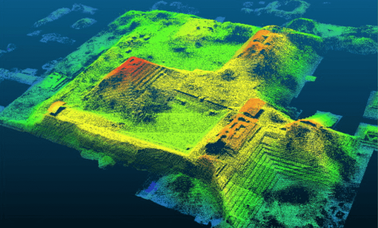
In southwestern Messenia, LiDAR data can reveal:
• Defensive ridgelines
• Terrace systems
• Shoreline change
• Structural alignments
• Possible watchpoint locations
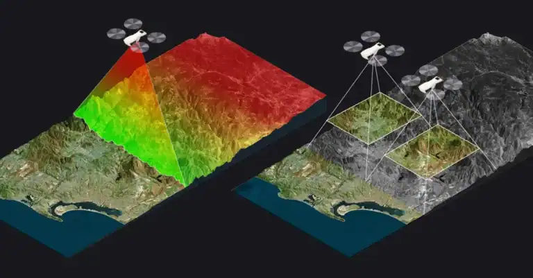
Unlike traditional survey, LiDAR penetrates vegetation cover and produces detailed elevation models.
These digital terrain models do not replace fieldwork. Instead, they refine it. Areas of interest identified in digital analysis can then be examined through ground-based survey and documentation.
When integrated with photogrammetry and historical mapping, LiDAR contributes to a multi-layered interpretative approach.
In this framework, technology serves analysis — not spectacle.