Transforming Documentation into Structured Interpretation
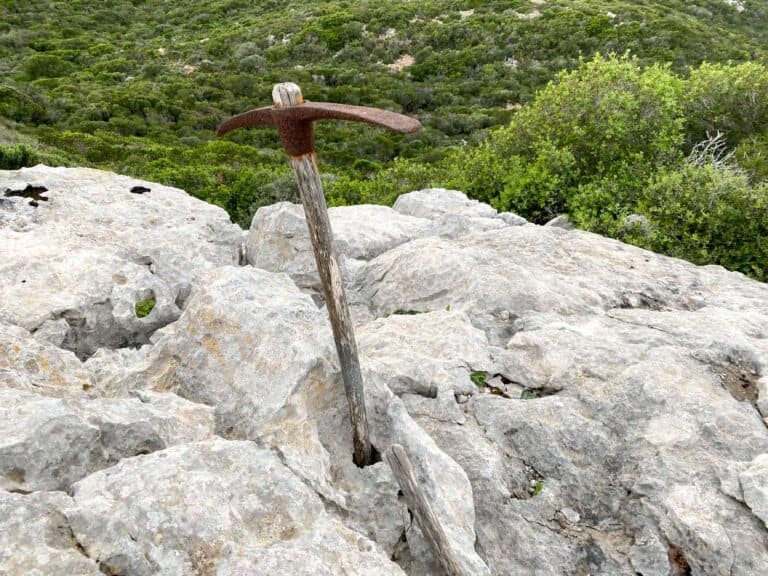
Field observation and underwater survey generate large volumes of spatial and visual data. Within the Sapientza Maritime Landscape Project, this material does not remain static documentation. Instead, it forms the basis for structured digital modelling and interpretative reconstruction.
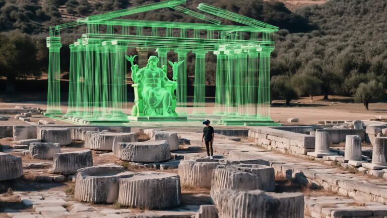
Digital reconstruction is not an artistic embellishment of archaeological sites. It is a research tool — one that allows spatial relationships, structural hypotheses, and environmental conditions to be tested and visualised.
Integrating Multiple Data Streams
The project combines several complementary datasets:
• LiDAR-based terrain mapping
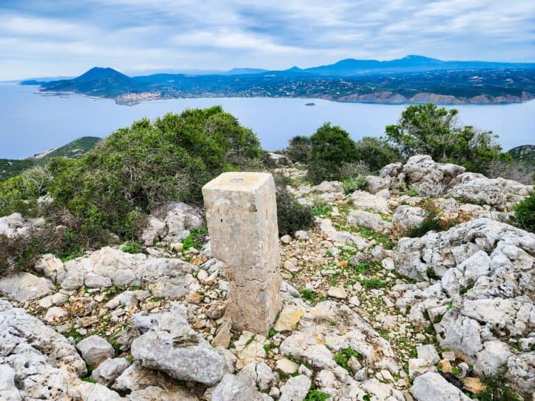
• Terrestrial architectural recording
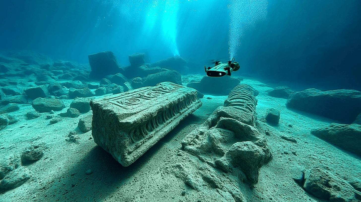
• Underwater drone footage
• Photogrammetric surface models
• Archival historical documentation
These data streams are processed within a unified spatial framework, allowing above-water and submerged contexts to be analysed together.
The result is a layered digital environment in which terrain, structures, and maritime activity can be studied in relation to one another.
From Measured Surface to 3D Model
Once raw data is collected, it undergoes structured processing:
Alignment and calibration of spatial coordinates
Creation of measurable 3D surface meshes
Correction of distortion and environmental interference
Identification of architectural phases and structural patterns
Digital artists and heritage specialists work collaboratively with archaeologists to ensure that modelling remains grounded in recorded evidence.
Where interpretation is required, it is clearly documented and differentiated from measured data.
Reconstruction as Hypothesis
Digital reconstruction does not claim to restore certainty.
Instead, it visualises plausible structural configurations based on:
• Surviving architectural remains
• Comparative typology
• Archival descriptions
• Spatial logic
Reconstruction becomes a form of research hypothesis — open to revision as new evidence emerges.
Transparency is essential. Recorded data and interpretative modelling are maintained as distinct but interconnected layers.
Immersive Educational Environments
One outcome of the digital modelling process may be the development of immersive educational environments.
Using VR platforms and interactive spatial viewers, reconstructed models can be explored in ways not possible through static imagery alone.
These environments may allow:
• Observation of reconstructed architectural phases
• Visualisation of maritime movement patterns
• Examination of coastal watchpoint systems
• Comparative analysis of structural development
The objective is not entertainment, but comprehension.
Immersive tools provide access to spatial relationships that are difficult to perceive on fragmented or partially submerged sites.
Public Interpretation and Accessibility
Digital reconstructions may also serve as interpretative tools for:
• On-site presentation
• Museum installations
• Educational programmes
• Digital heritage platforms
Where appropriate, models can be adapted for controlled public access while preserving sensitive data.
The digital layer becomes an extension of stewardship — preserving spatial information beyond the physical lifespan of exposed remains.
A Continuity of Care in Digital Form
By integrating field documentation with digital modelling, the Sapientza Maritime Landscape Project extends the concept of site stewardship into the digital domain.
Data becomes archive.
Archive becomes model.
Model becomes interpretative framework.
Digital reconstruction does not replace fieldwork — it deepens its impact.
As the project develops, further updates will present case studies demonstrating how measured terrain and submerged features inform evolving reconstructions.