Expanding Adopt a Site through advanced documentation and digital reconstruction
Odyssey Academy is expanding the Adopt a Site initiative to integrate advanced digital recording methods alongside field-based stewardship.
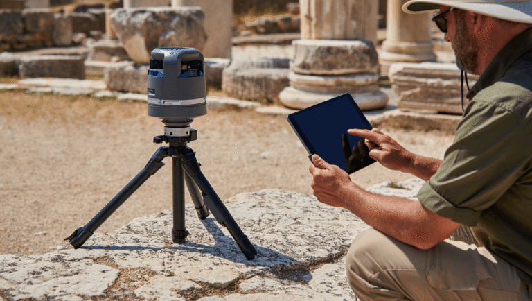
Beginning this cycle, selected sites in Messenia will undergo structured LiDAR documentation and high-resolution spatial recording as part of ongoing field engagement. This development strengthens the connection between site presence, systematic documentation, and long-term digital preservation.
From Terrain to Data
Students participating in Adopt a Site will engage in supervised data collection using:
• LiDAR scanning
• Photogrammetry
• Architectural measurement and mapping
• Terrain modelling
These datasets allow detailed analysis of structural conditions, spatial relationships, and site morphology beyond what is visible through traditional observation alone.
Digital documentation becomes an extension of field methodology.
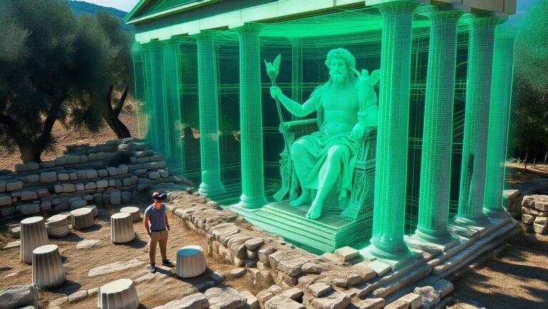
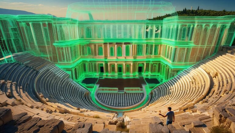
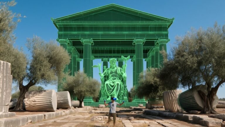
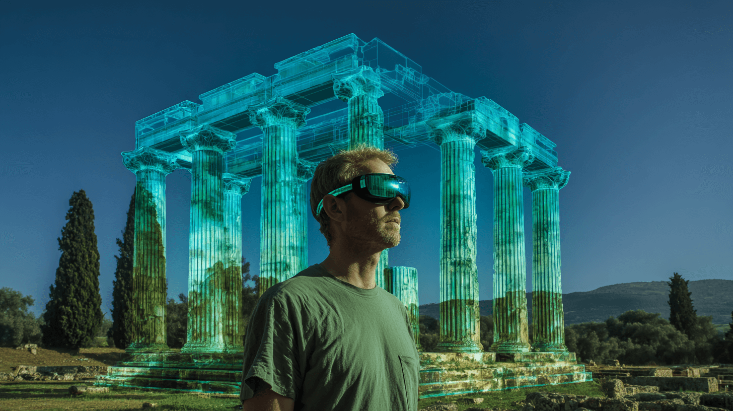
From Documentation to Reconstruction
Collected datasets are processed in collaboration with digital heritage specialists and 3D artists.
Where appropriate, the material may contribute to:
• Structured 3D models
• Architectural phase reconstructions
• Visualisation of site development over time
• Immersive educational environments
All reconstruction work is grounded in documented evidence. Interpretative elements are clearly distinguished from recorded data.
The aim is not spectacle, but clarity.
Educational and Public Access
The Digital & Field Stewardship Initiative serves two complementary purposes:
Providing students with hands-on experience in advanced heritage documentation.
Developing interpretative tools that may be used on-site, in museums, or in digital platforms to improve public understanding of archaeological landscapes.
By combining field presence with digital modelling, sites can be studied, preserved, and interpreted more comprehensively.
A Continuity of Care
Adopt a Site remains grounded in long-term engagement and responsible presence. Digital documentation strengthens this commitment by creating an enduring record of architectural and landscape conditions.
This initiative reflects an evolving approach to stewardship — one that connects terrain, data, and interpretation in a single methodological framework.
Further updates will follow as pilot documentation phases are completed.